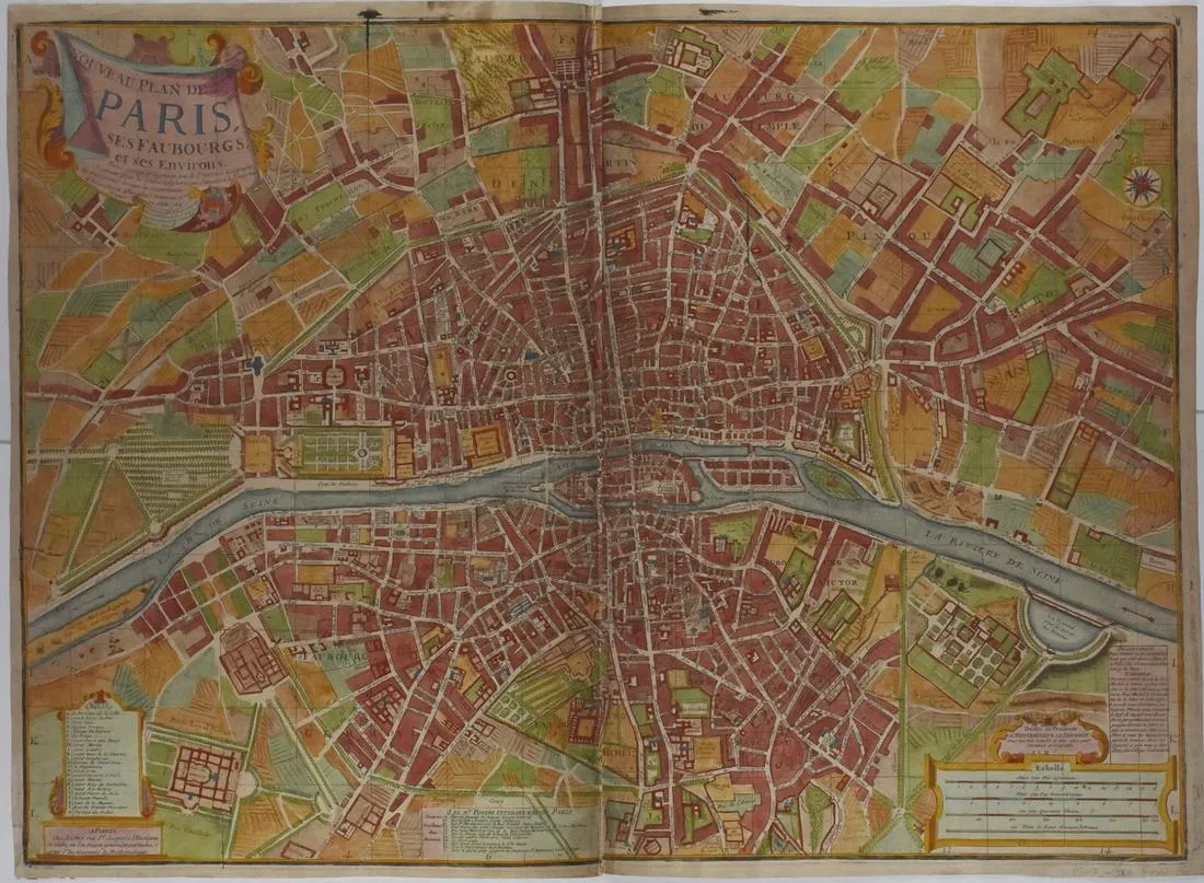
Lous Charles Desnos Map of Paris 1766
Louis Charles Desnos (1725-1805), “Nouveau Plan de Paris, ses Faubourgs, et ses Environs,” Paris, 1766. Decorative hand colored engraving large format map of Paris, showing a highly detailed treatment of the city in the middle of the 18th century.
The map includes a decorative cartouche and is highly embellished and full of detail.
Height: 22 in x width: 30 1/8 in.
$650
