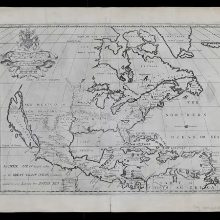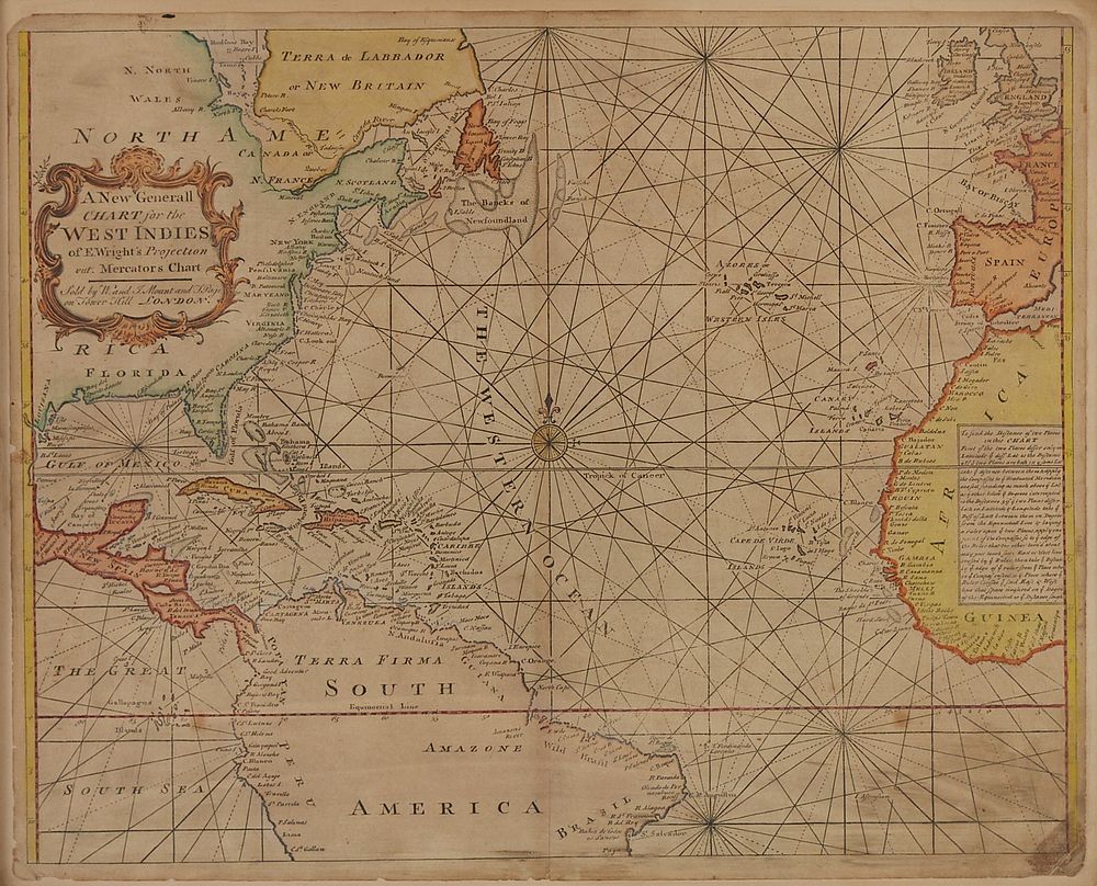
Map of West Indies from Mercator 1773
“A new general chart for the West Indies of E Wright’s projection on Mercator’s chart,” London: J. Mount & T. Page, ca. 1773. From “The English Pilot. The Fourth Book describing the West India Navigation from Hudson’s Bay to the River Amazones,” London: J. Mount & T. Page, 1773.
Sight: height: 18 1/2 in x width: 23 in.
Framed: height: 21 1/4 in x width: 26 in.
$600
